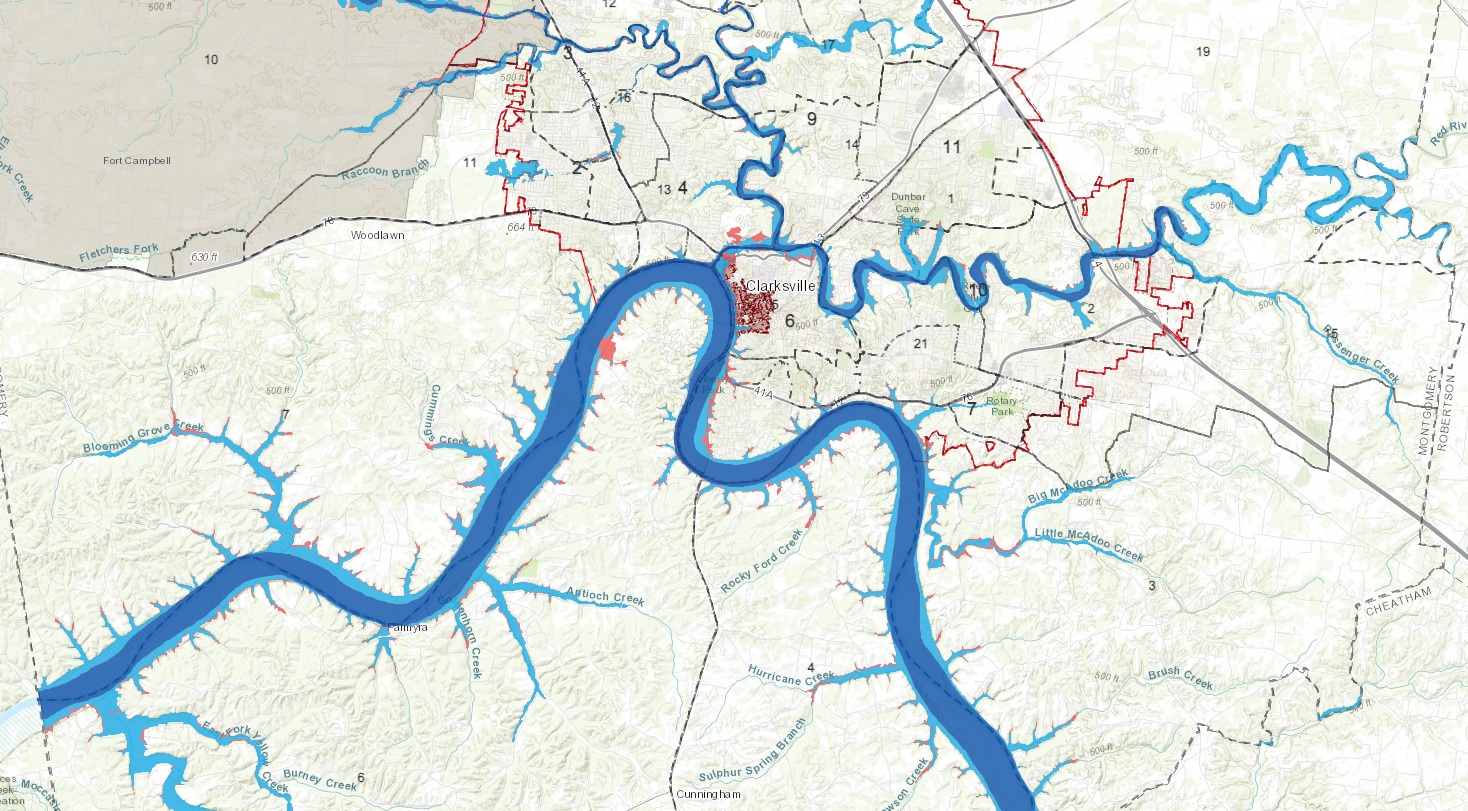
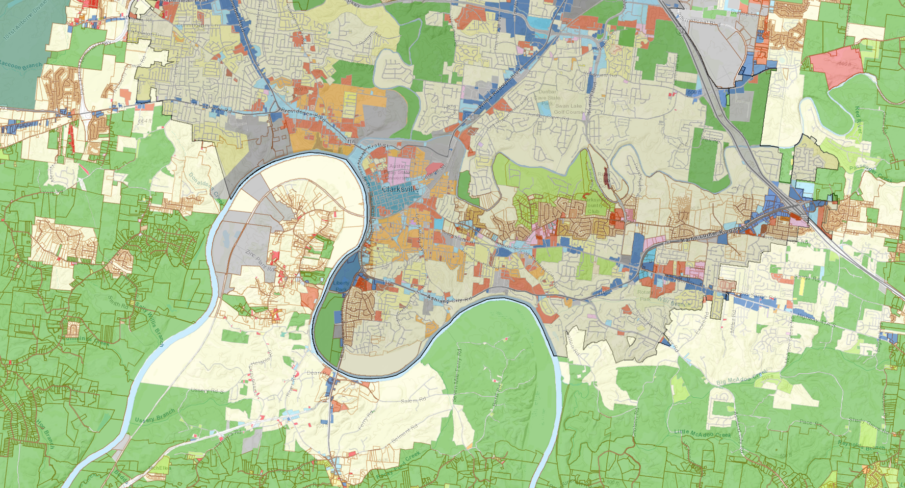
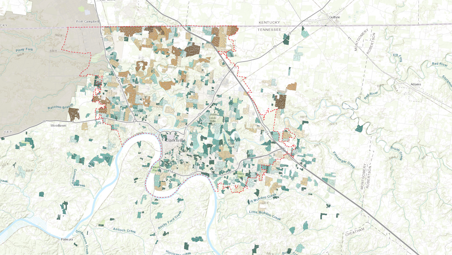
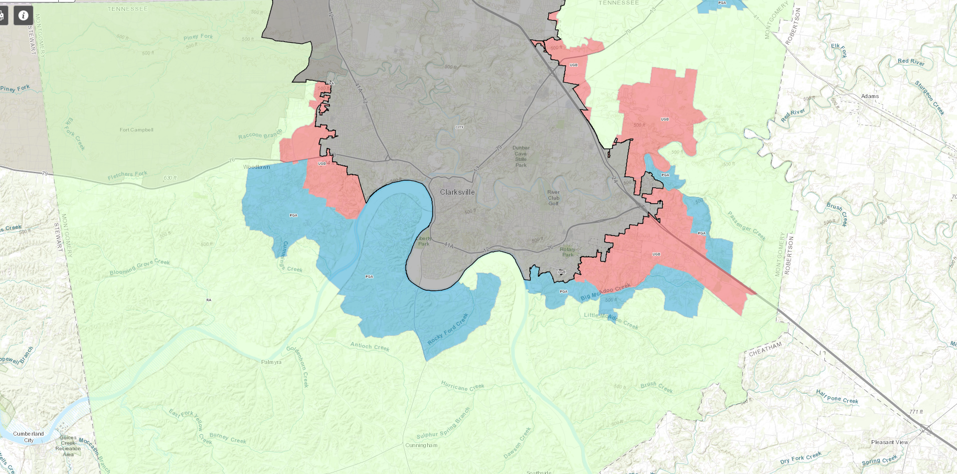
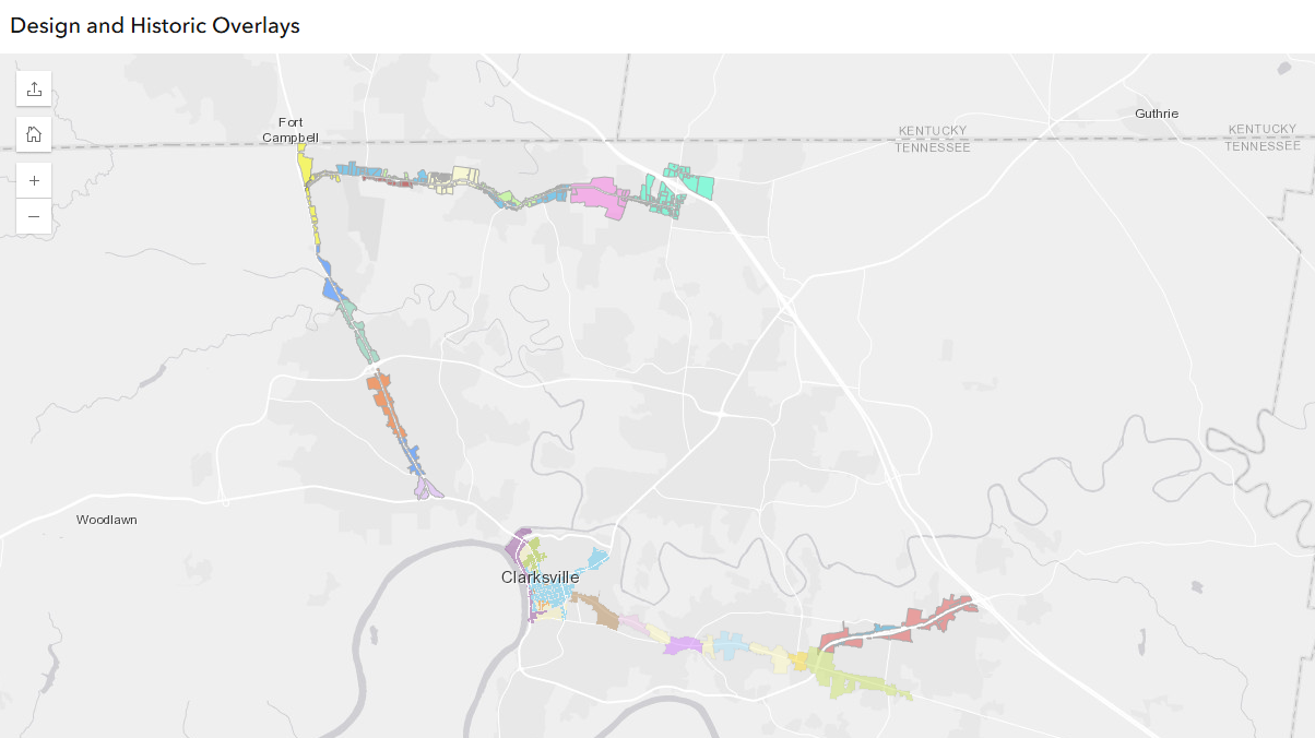
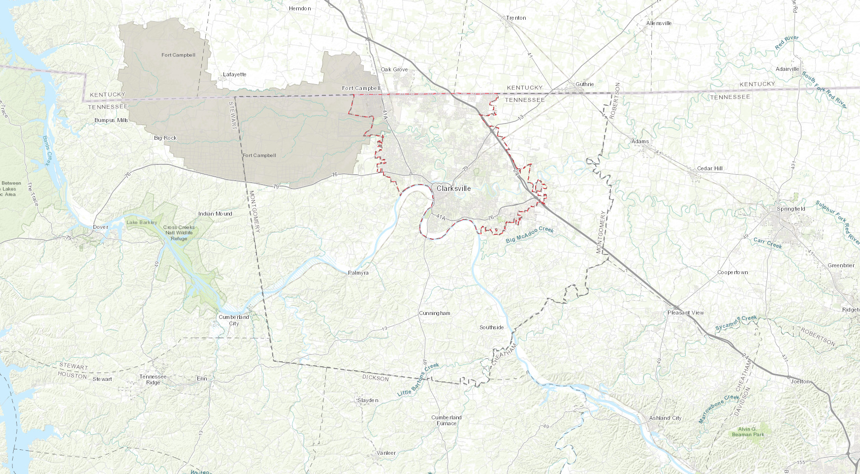
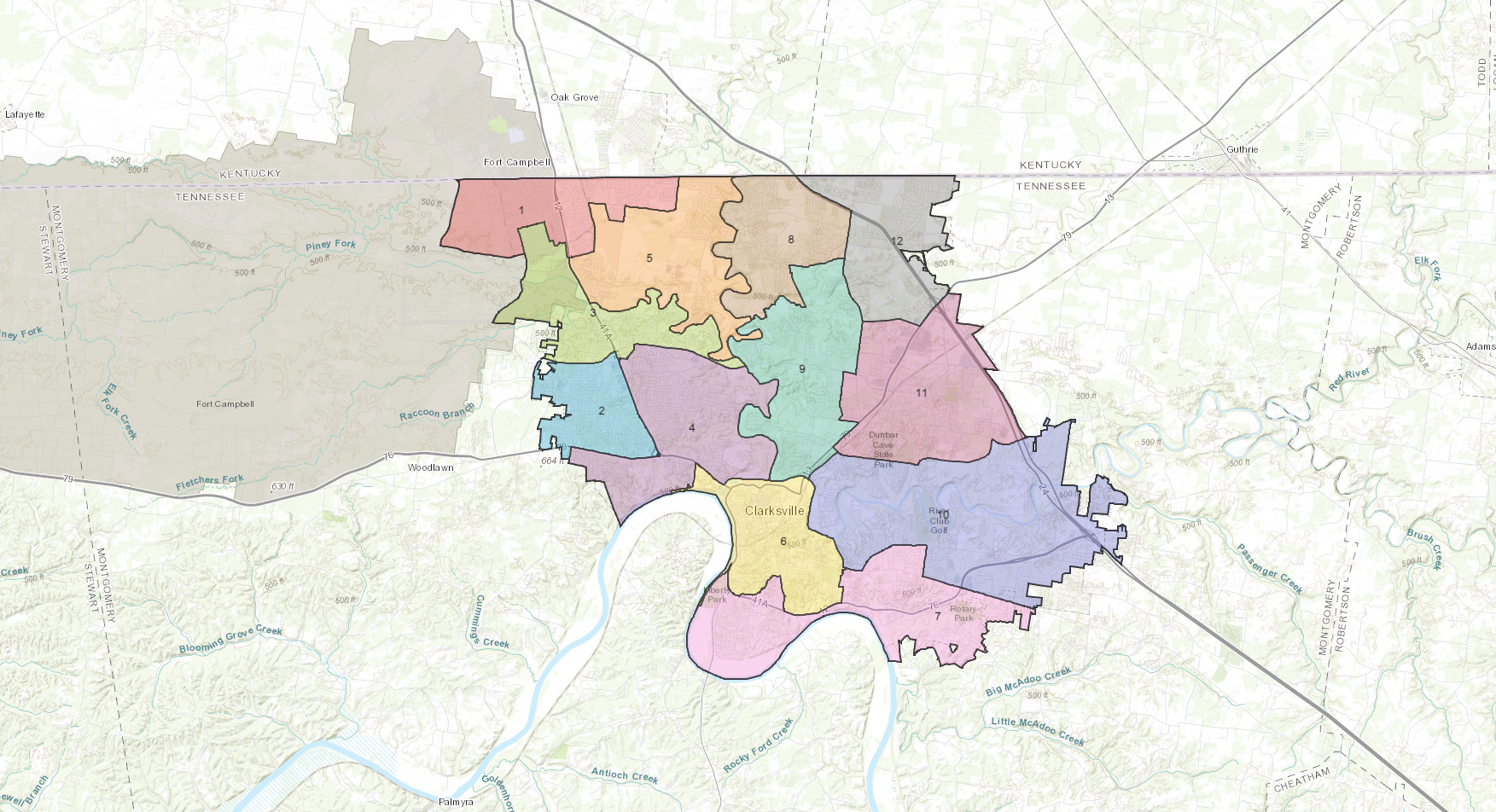
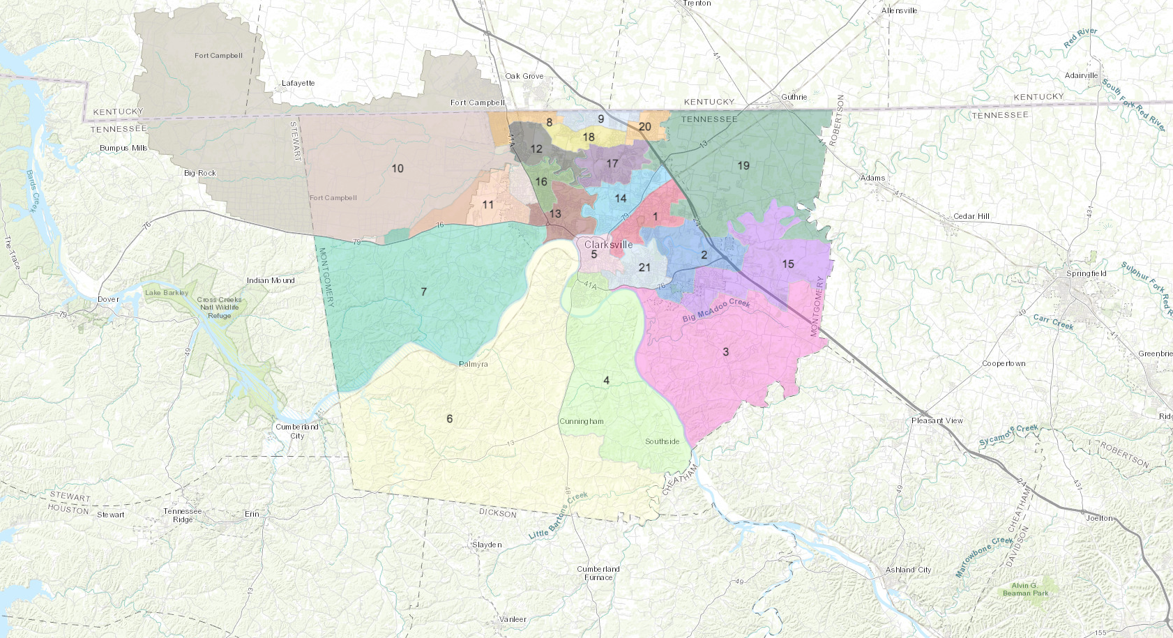
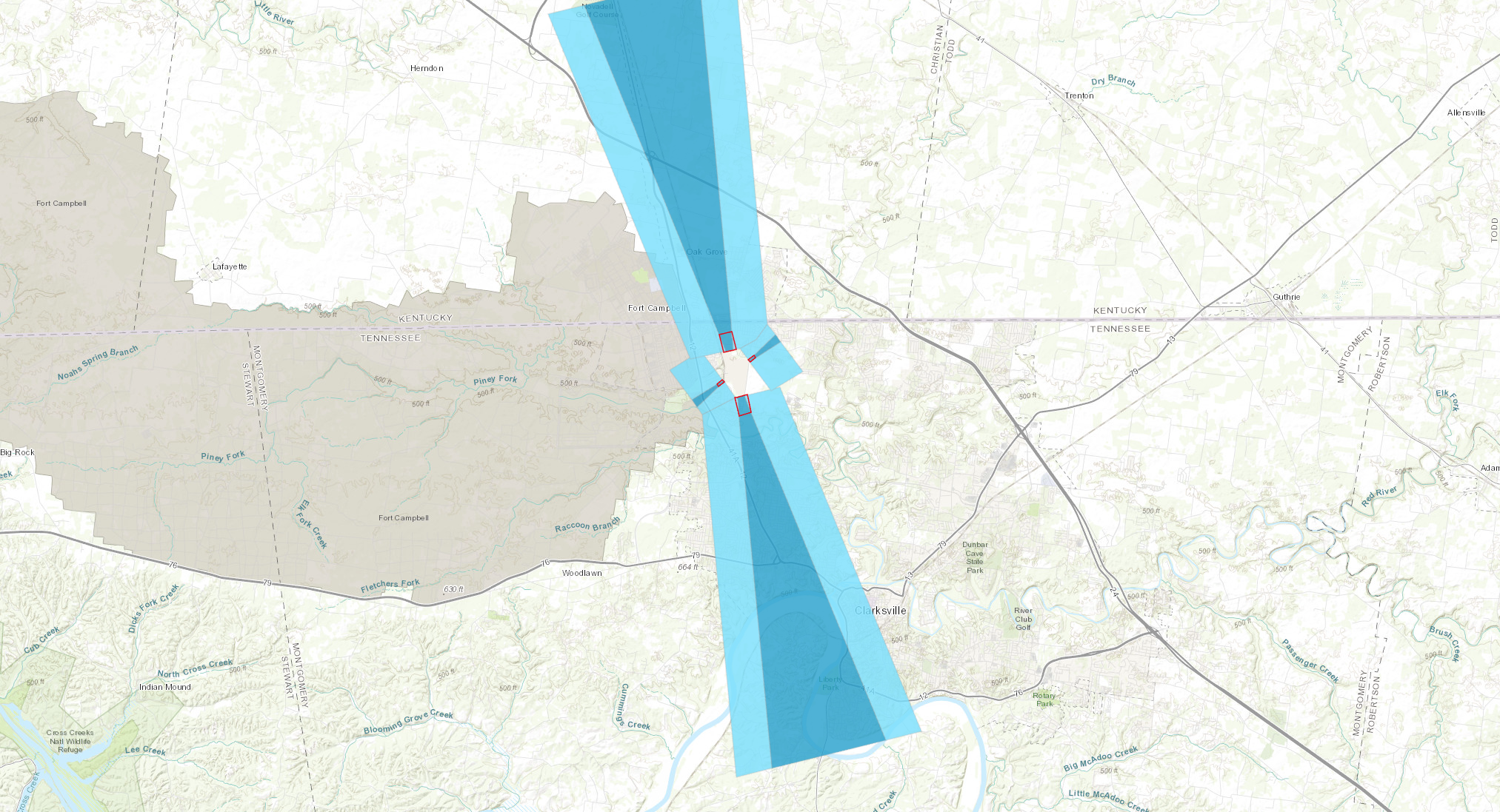
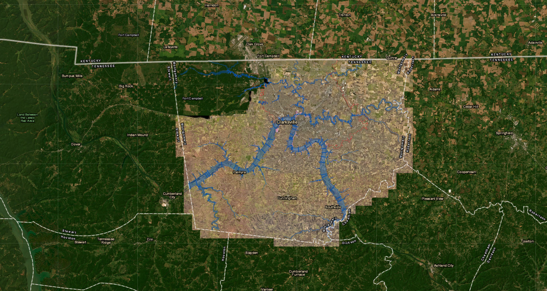
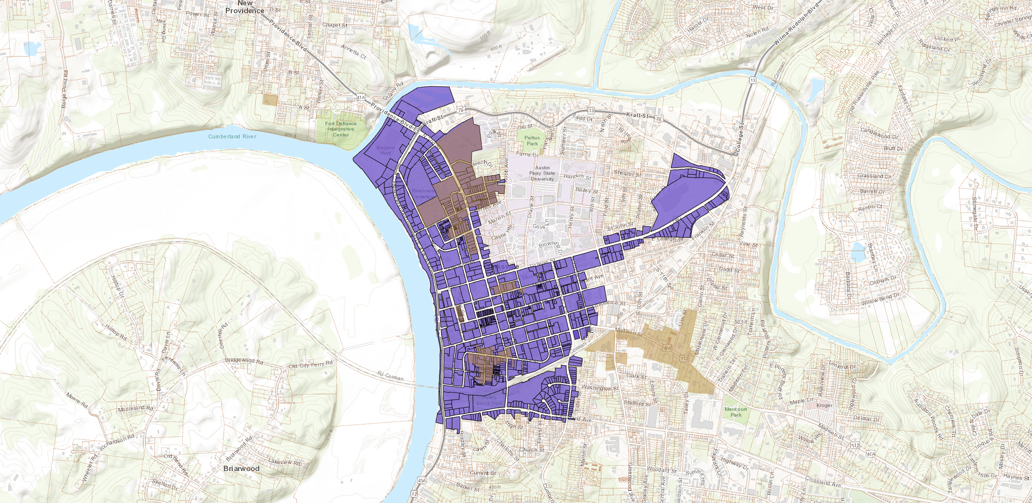
The RPC uses GIS (Geographic Information Systems) for many different types of applications and is responsible for maintaining various datasets related to land use such as zoning, overlay districts, and growth plan areas.
The Planning Commission offers services regarding GIS and its applications to various city and county offices, as well as the public. The RPC has created a series of interactive web maps as well as PDF maps for printing. Maps are updated on a regular basis with new maps and tools being added. More mapping and GIS information can be found under Additional Information.
For mapping information, please contact Daniel Morris. Fees for information will be based on the size of map requested, number of files needed, and amount of time needed to complete the request.